3D LASER SCANNING
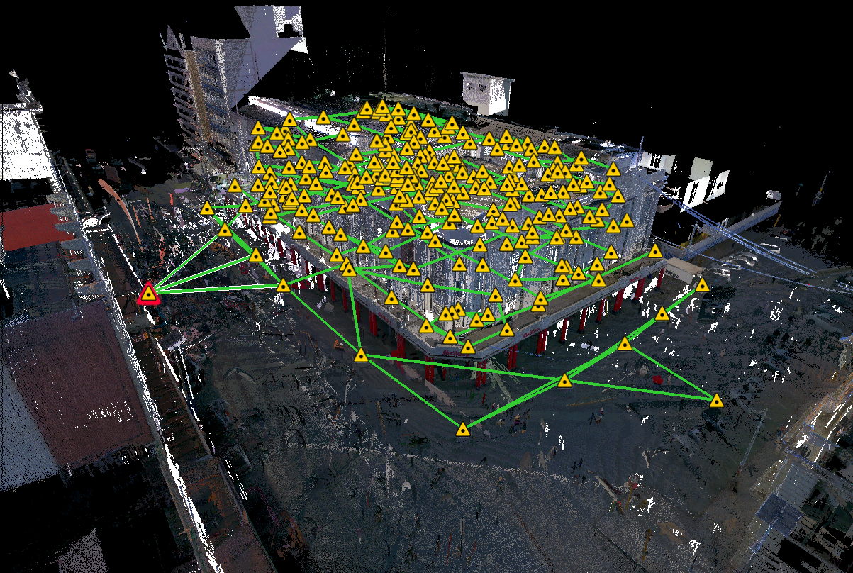
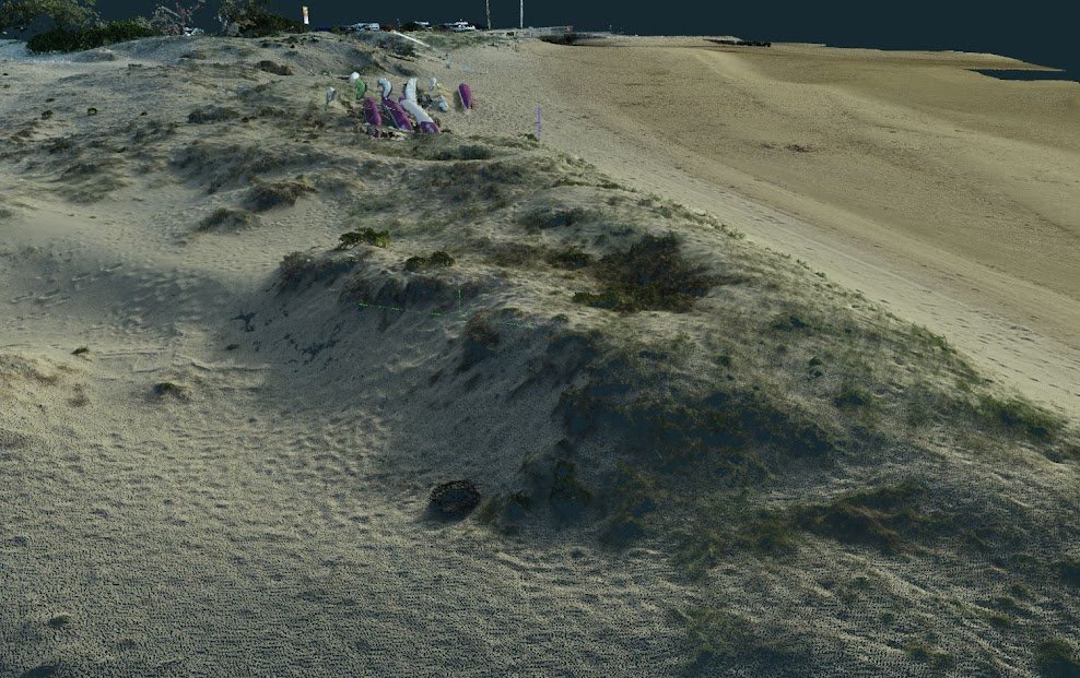
Khalid Al-Raddadi Surveys integrated 3D Laser Scanning and Survey work process is the most efficient way of accurately and completely collecting As-built data. Our Laser scanners collect surface data by repeatedly shooting a laser off an object’s surface and plotting points into what is known as a point cloud.
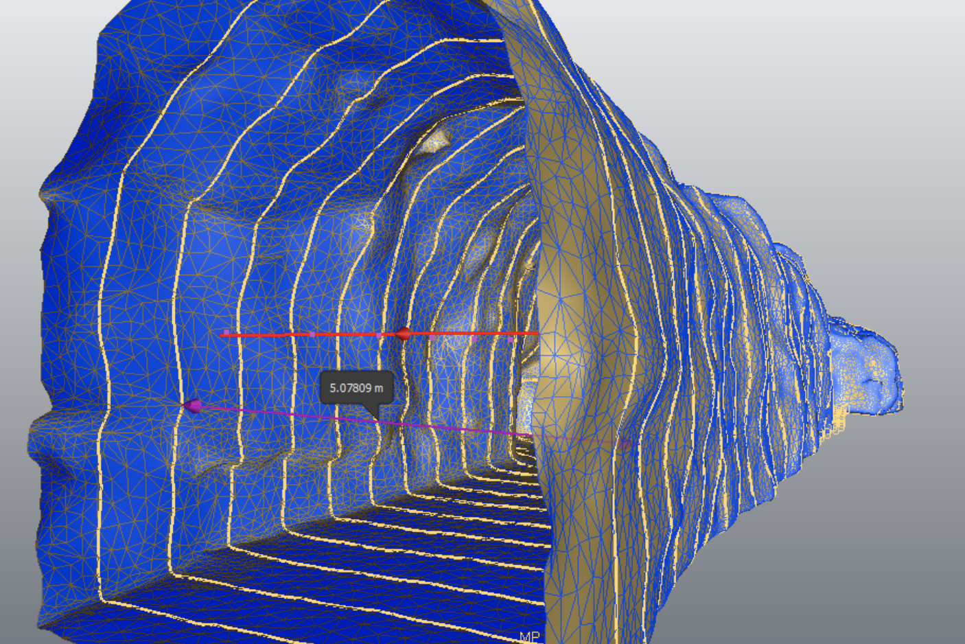
We 3D Laser Scanner to measure fine details and capture free-form shapes to generate highly accurate point clouds.
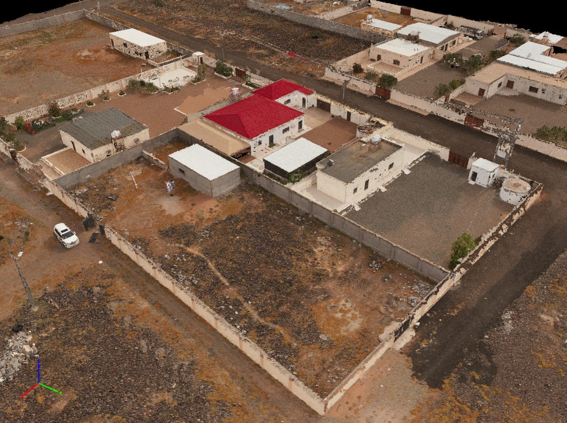
3D Laser scanning is one of our latest tool as a quick, safe and accurate measurement technique that we apply for:

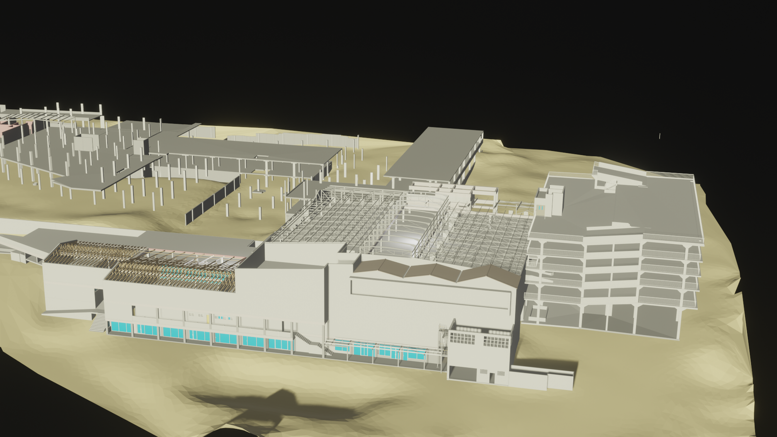
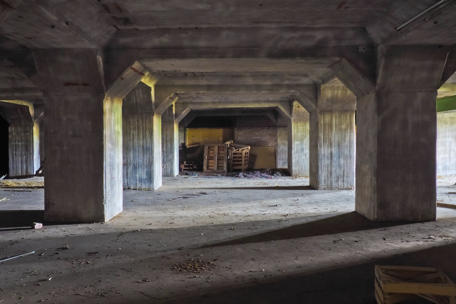
Factories, buildings and structures
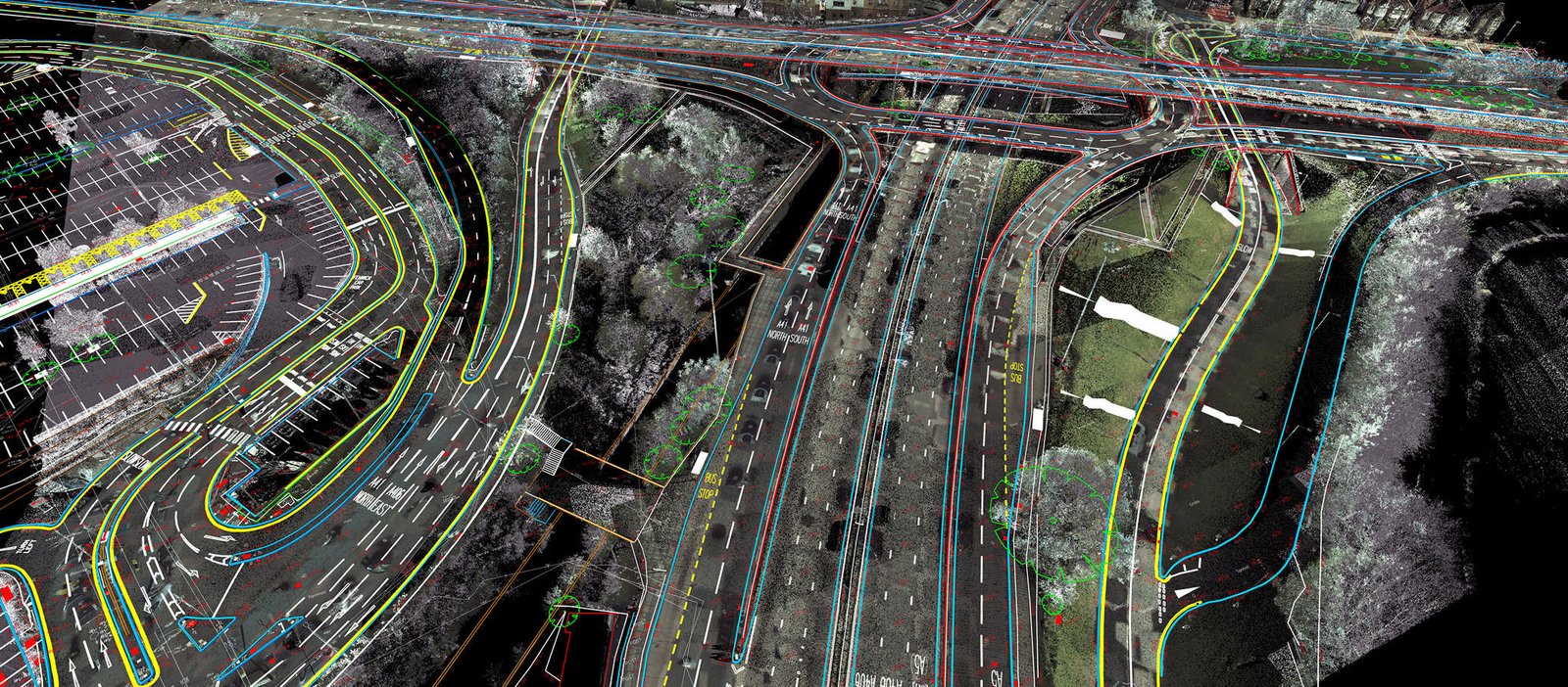
Power lines and sub stations
Tanks , pipework and pump stations
Tanks , pipework and pump stations
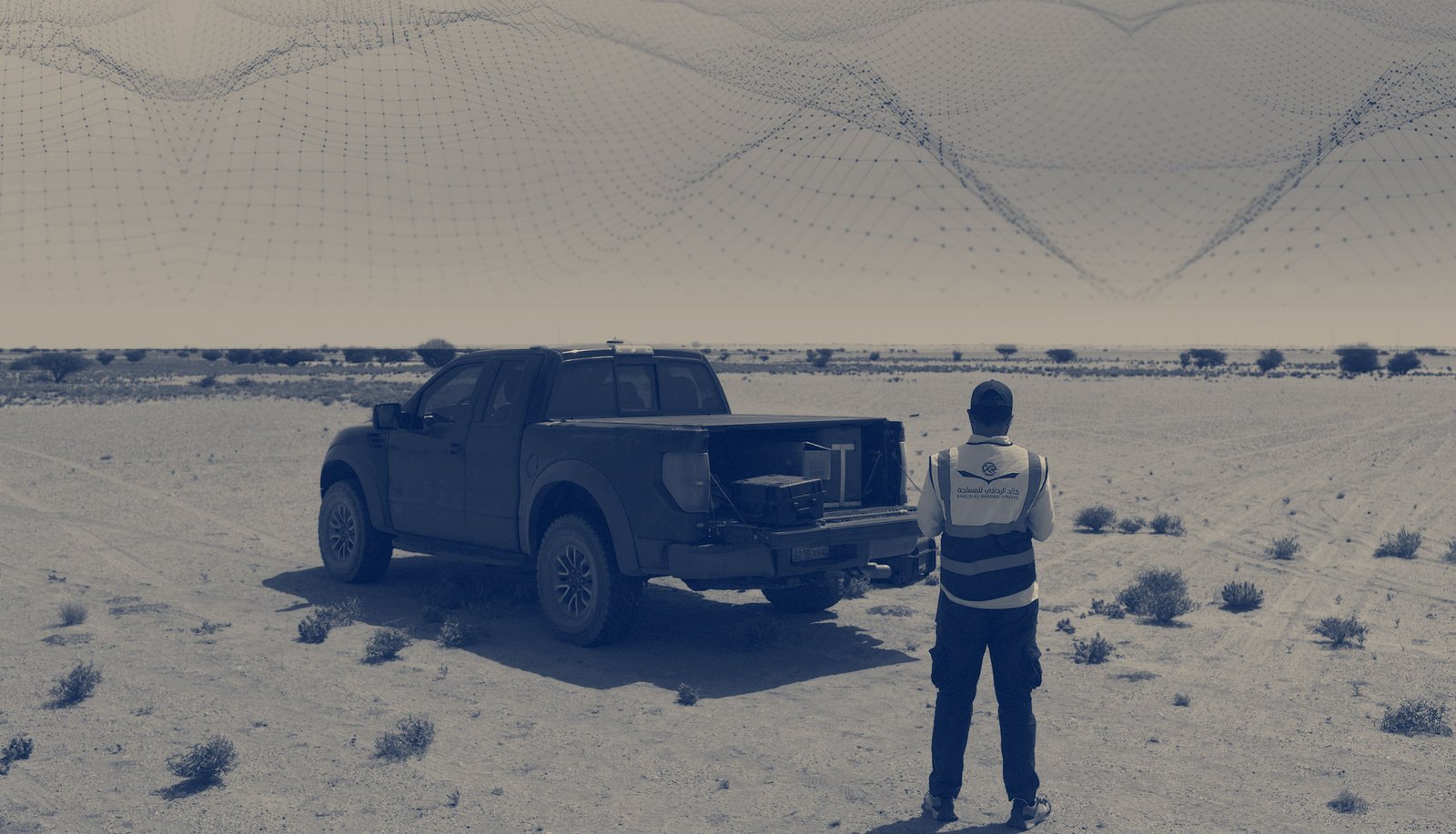
Check out our available 3d layer scanning services to see how we can assist you: