Aerial Surveys
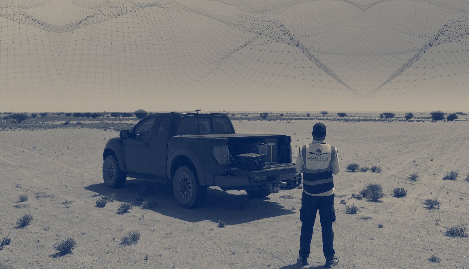
Saudi Arabian Advanced Aerial Surveying Company
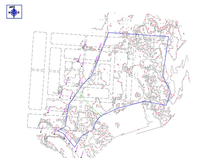
Surveying with aerial/drone in saudi arabia offers enormous potential to all our clients. With aerial surveying services, it is possible to carry out topographic surveys of the same quality as the highly accurate measurements.
Pushing the boundaries of drone surveys and aerial mapping services to provide a safe and sustainable future for the kingdom of saudi arabia in support of KRS to Vision 2030.

Check out our available aerial survey services to see how we can assist you:

We Offer complete Drone LiDar and Photogrammetry System for Aerial Surveying, Mapping and GIS throughout Saudi Arabia.
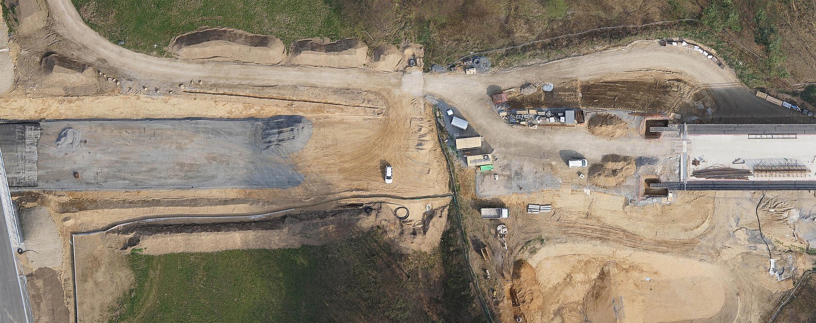
Our drone devices are equipped with latest surveying equipment and software for land development and construction projects.
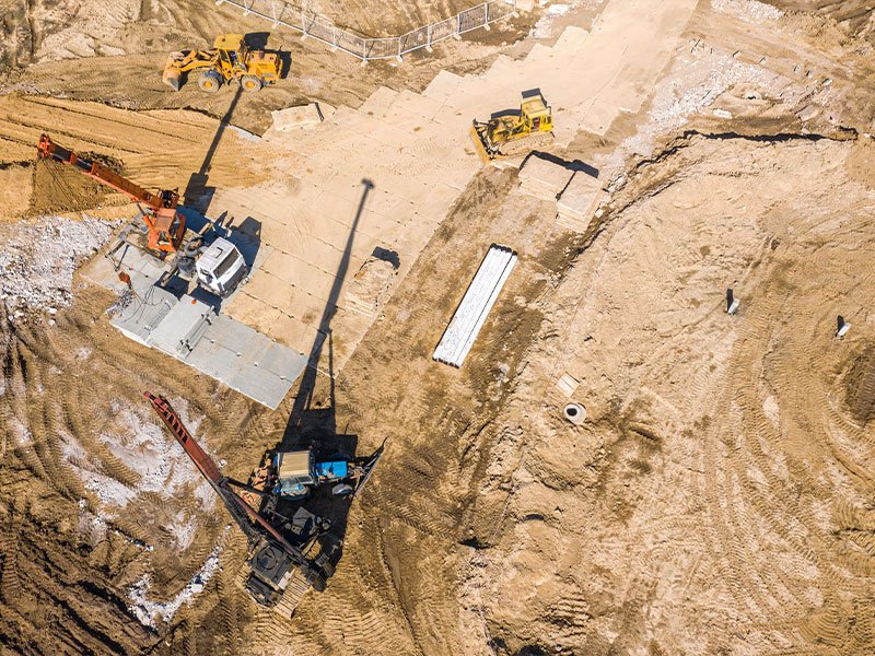

We have drones for mining companies with surveying capabilities that provide better results and drastically improved flexibility for a fraction of the cost.
We offer a fast, reliable, safe, cost-effective: drone surveying services for infrastructure inspection including power-lines, cell towers, oil and gas pipelines and railways

We provide educational surveying solutions for science and academic to make the research vision reality with a drone system.
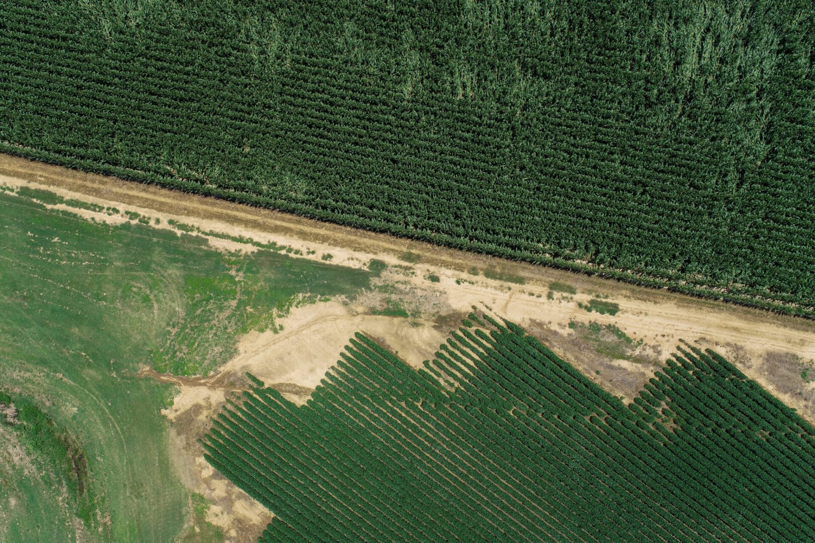
We offer agricultural aerial perspective as a distinct advantage that can serve agriculture industry ensuring that crops are healthy and catch any issues before they impact yield
“Our drone survey services can provide a variety of deliverables depending on the specific needs and goals of the project”
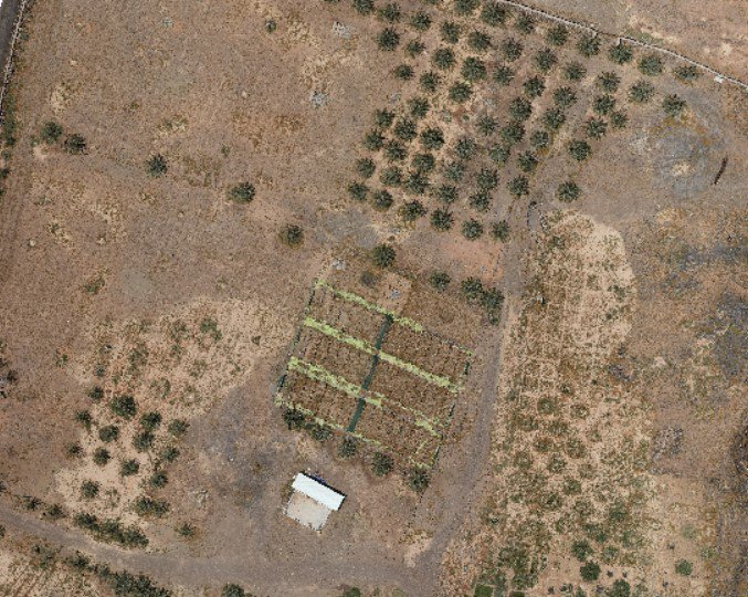
A detailed and geo-referenced map of the accurate ground surveyed area
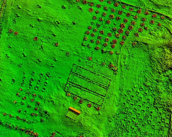
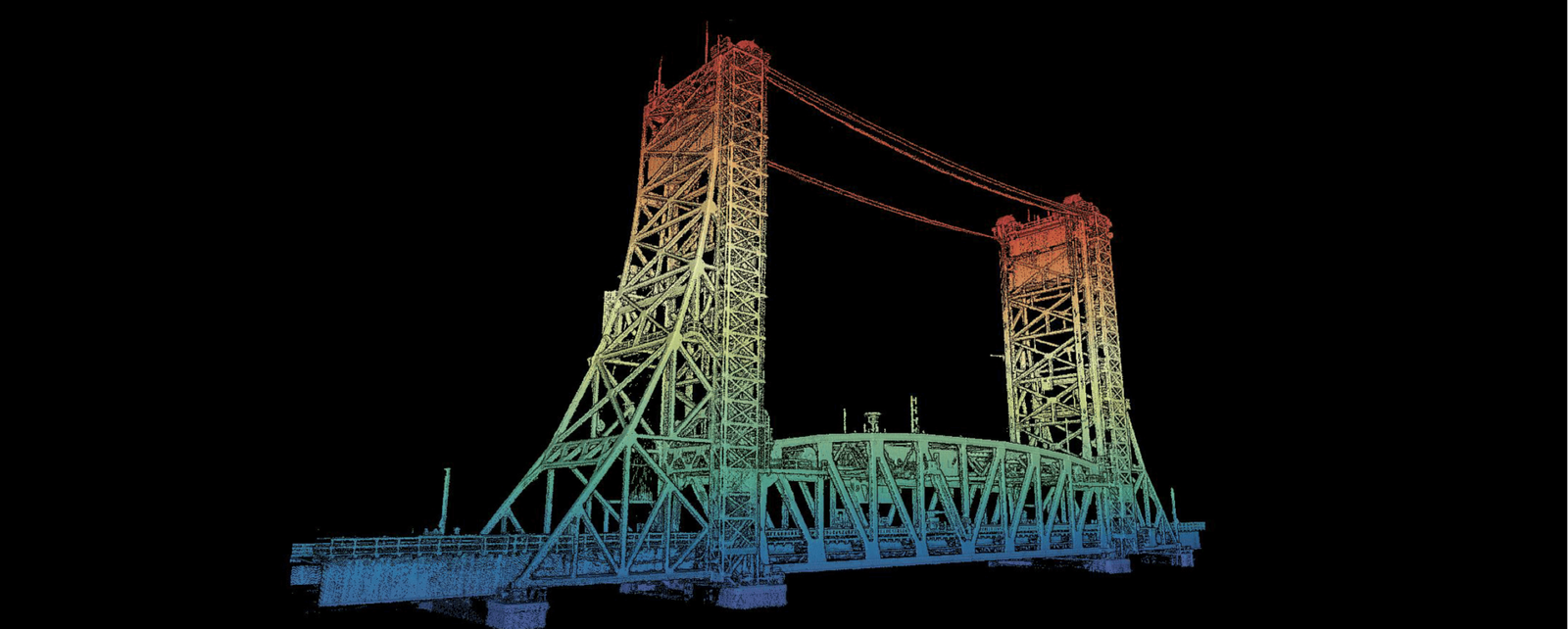
3D representations of the terrain, created by capturing elevation data during the survey
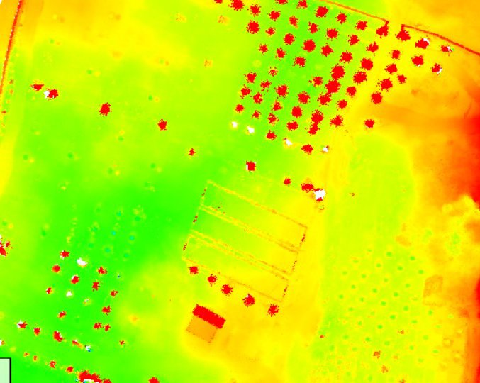
A DSM represents the surface of the Earth, including all natural and man-made features.
It display lines connecting points of equal elevation, providing a visual representation
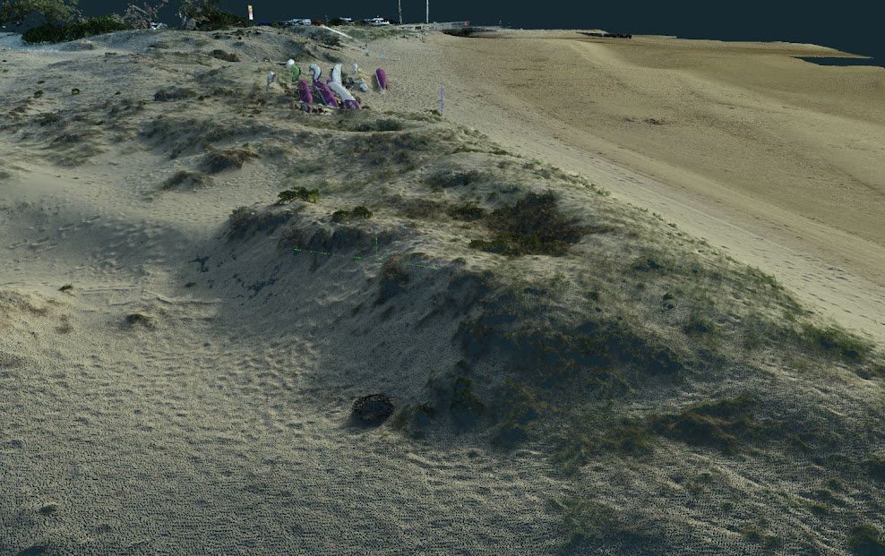
They are created by collecting data on the location of individual points

It is useful for applications such as building inspections, agriculture, road and railways

It calculate volumes of stockpiles, excavations, or other topographical features data
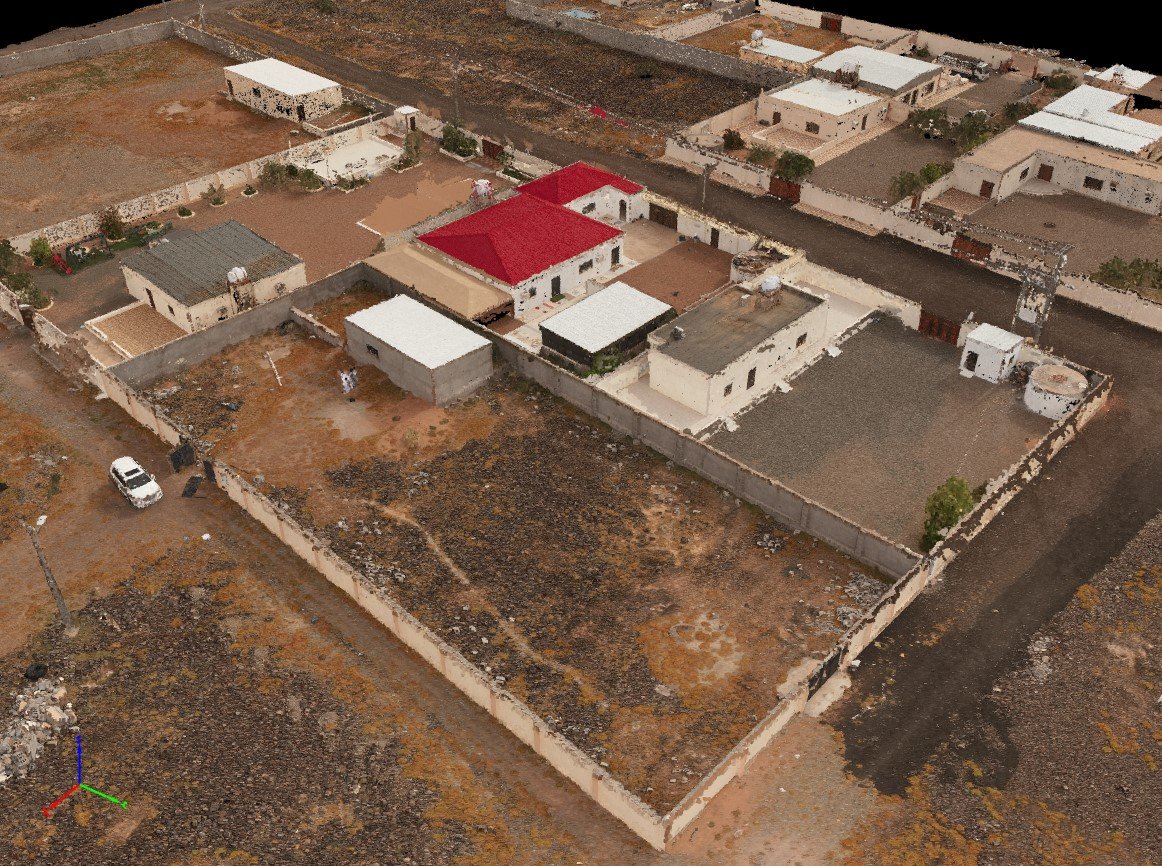
It allow users to explore and interact with the surveyed environment virtually

Interested in finding out more about how our aerial surveying technology can assist you with your business needs?
Complete the contact form to find out more and get started.