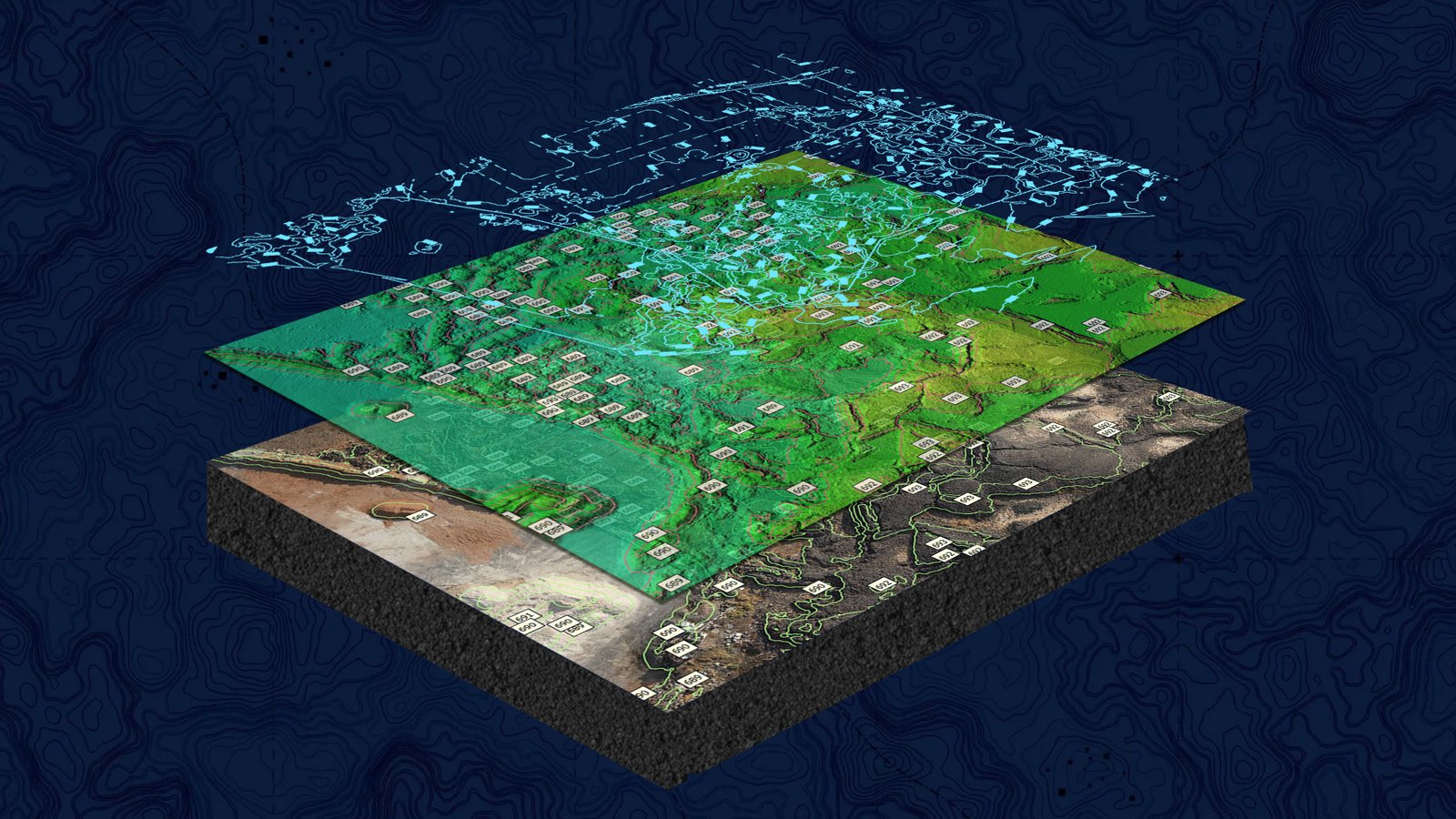
Madaen Saleh Topographical Project
Royal Commission of Al-Ula
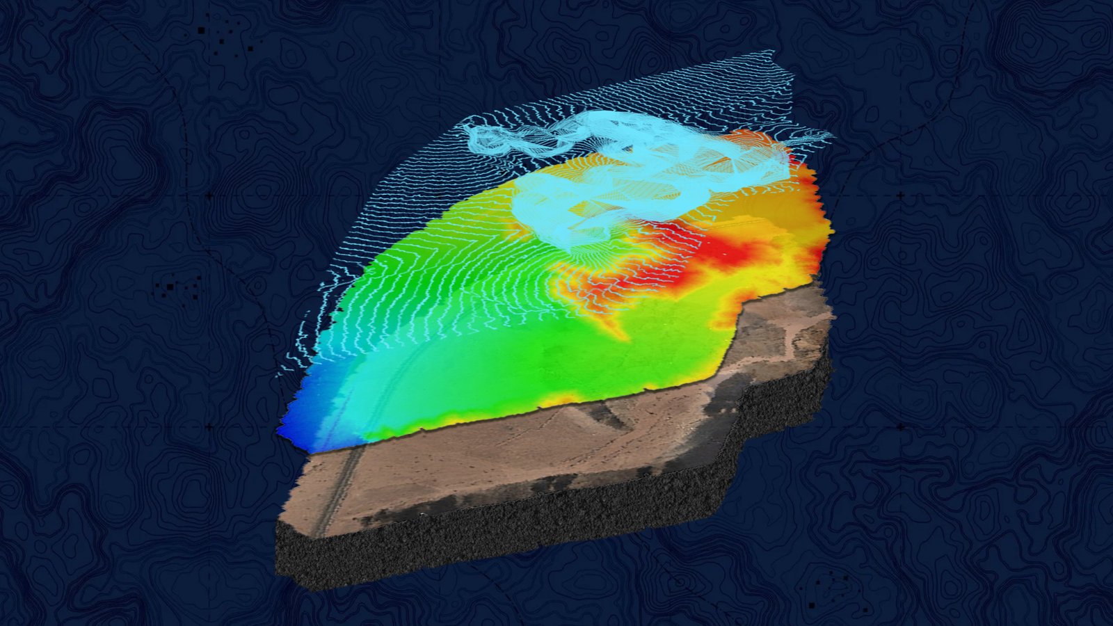
Private Aerial Survey Project
Private Company

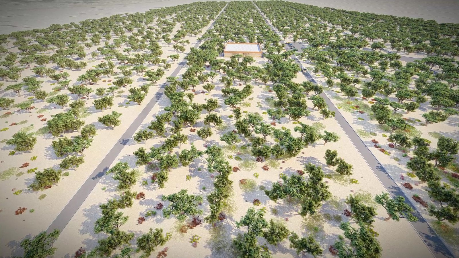
Aerial Survey Project
DAN Company
Aerial Survey Project
DAN Company
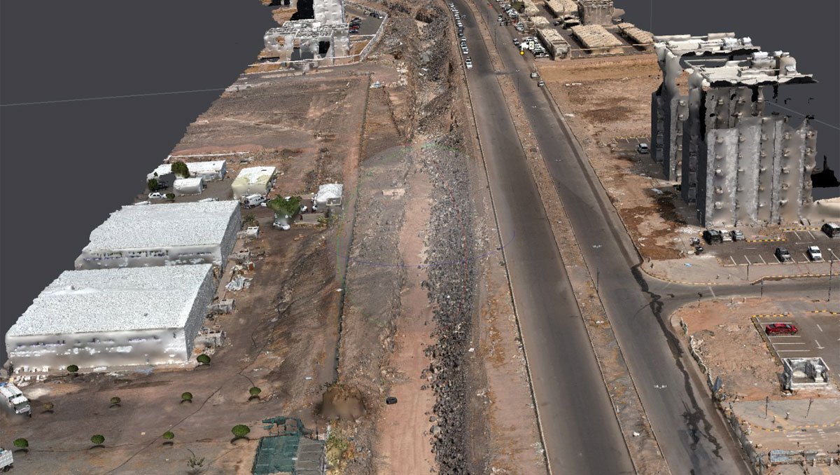
Madinah Aerial Survey Project
Municipality of Al-Madinah
Land Consultancy
Emirates of Government of Al-Madinah